“Do not trust maps.” Those were Steve Russell Boerner’s words of wisdom after a long struggle over the name and boundaries of Gardiner’s Bay. As an archivist at the East Hampton Library, with a bachelor’s degree in history and a master’s in library science — with a focus on land archives and records management — he would know. “I don’t trust maps,” he said last week. “I trust written documents, especially deeds. Maps are half art, half science.”The U.S. Geological Survey is the federal agency responsible for recording official place names throughout the country. Before the mapping brouhaha erupted, the last time the Geological Survey had updated its map of the waters off Napeague and Promised Land was in 1956. The 1956 map was, it appears, the first time that “Napeague Bay” was shown as extending over the body of water to the west, between Promised Land and Devon, that locals had always called Gardiner’s Bay. It is thought that a draftsman made an error.The problem came to light in 2008, when members of the Rattray family, who had grown up along Cranberry Hole Road beside that stretch of Gardiner’s Bay, noticed that some of their neighbors thought they were living on Napeague Bay. David Rattray, The Star’s editor, wrote to the United States Board on Geographic Names that year to request that a correction be made; he argued that the boundary line between Gardiner’s Bay and Napeague Bay had been accidentally noted in the wrong place. Other Cranberry Hole Road neighbors joined the fight, writing letters to complain that the bay was wrongly named on government maps. Among them was Russell Bennett — who, like Mr. Rattray, is a descendent of the Edwards Brothers who once owned much of the property in the area and for many years ran the menhaden fishery out of Promised Land. Both men felt a personal interest in maintaining the historically accurate name. But it wasn’t just historical accuracy that was at stake, they argued, but boaters’ safety, as well: The accidental change in boundaries was a potential hazard to navigation.“Standardization of information is so important,” Mr. Boerner said. He had worked on issues related to beach-access rights as well as bay-bottom ownership, and seemed the ideal candidate to present the case to the United States Board on Geographic Names, which is headquartered in Reston, Va.He had met Lou Yost, the executive secretary of the Board on Geographic Names several years before at a workshop in London on international boundary disputes and archival research. At that time, Mr. Yost had suggested that Mr. Boerner become involved with the board. The wheels of government turn slowly, but Mr. Boerner, drawing on the extensive resources of the library’s Long Island Collection, was working behind the scenes over the next several years on his investigation of land titles and boundaries. By 2013, he was able to produce a comprehensive report. The library sent him to discuss it with the Board on Geographic Names and some of the other relevant federal agencies within the State Department, including the National Oceanographic and Atmospheric Administration and the Library of Congress.The report is “fondly and respectfully dedicated to Capt. Milton Miller, 1915–2012, lifelong East Hampton Township, N.Y., bayman, surfman, veteran, friend, ‘finest kind,’ ” who was one of the important sources confirming the local use of Gardiner’s Bay for that area. The report combines cartographic evidence, land records, historical documents, and the testimony of several members of families that had made their living fishing and clamming in Gardiner’s Bay for centuries, such as Melvin Bennett. “I don’t know,” Mr. Miller had told Mr. Rattray, “maybe there never was a Napeague Bay. When I was navigating, we never said nothing about Napeague Bay.” Because it is difficult to determine boundaries under water, boaters and mapmakers alike have to rely on fixed points on land to determine where one begins and the other ends. In the application, Mr. Boerner and Mr. Rattray used the end of Cartwright Shoal (off Gardiner’s Island) and Goff Point (at Lazy Point) as their northerly and southerly land references. These, they argued, had always been the natural visual dividing line — something backed up by East Hampton Town Trustees records from the 19th century.During his trip in November of 2013, at the end of a meeting with representatives from the Library of Congress, an offficial from NOAA gave Mr. Boerner a pen and pushed the map toward him, inviting him to draw the line where he thought it should be.He replied that he felt it was important to bring the report back to East Hampton and get consensus among the town board and the trustees, before the boundary line could be officially redrawn. This might be their only opportunity to make sure the corrected map was accurate.Gaining consensus took a while, because, at first, some of the elected trustees did not really know the area. GoogleMaps showed Napeague Bay covering the horseshoe-shaped body of water in question, and some boaters who knew it only as that, instead of Gardiner’s Bay, were surprised to hear anything different. The East Hampton Town Board, however, agreed that a mistake had been made, and signed off on the revised line — but it was not until late in 2018 that consensus was finally reached following a meeting with Mr. Rattray, Mr. Boerner, and several trustees. Even then, the Board of Geographic Names decided the issue needed to be brought back before them for another look. Jennifer Runyon, a member of the research staff at the U.S. Board on Geographical Names, was intimately involved in the process. “The database entries hadn’t been resolved,” she said. “I guess you could say it was a team effort, especially once everyone was on the same page as to where the dividing line should be.”And then, the whole process was delayed yet again: An email addressed to Mr. Boerner that had been drafted the day before the government shutdown in December sat in Ms. Runyon’s “drafts” folder for weeks, unable to be sent. With her apologies, she was able finally to contact him at the end of February, informing him that the proposal to amend the application of the names of the bays had been approved in December, and that the changes had been made in the Geographic Names Information System.This was gratifying for everyone, especially, perhaps, for Mr. Rattray. “If there was an emergency, the Coast Guard, etc., should know which body of water to respond to,” he said. “Everyone should be on the same page when it comes to accurate geographic locations.”It never ends. Last week, Mr. Rattray turned his sights on Shelter Island Sound near Greenport, which, he noticed on GoogleMaps, was listed as the Peconic River.
Published 7 years ago
Last updated 7 years ago
After a Battle, Gardiner’s Bay Is Back
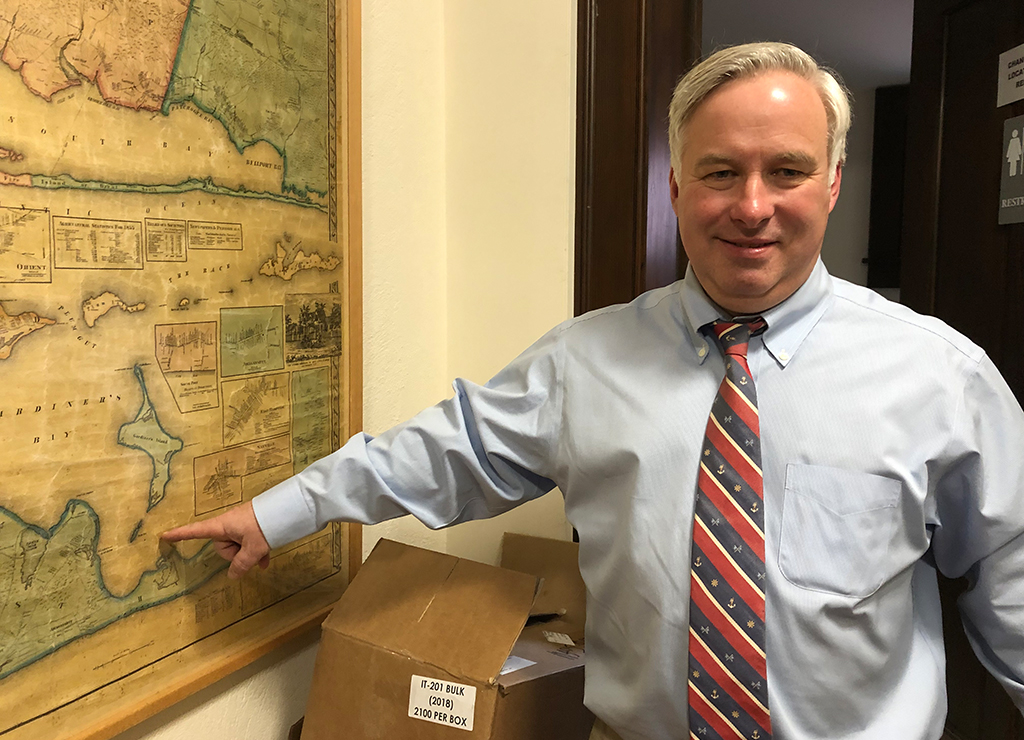
Steve Russell Boerner, an archivist at the East Hampton Library, pressed federal authorities for nearly a decade to correctly mark the easternmost boundary of Gardiner’s Bay.
April 18, 2019