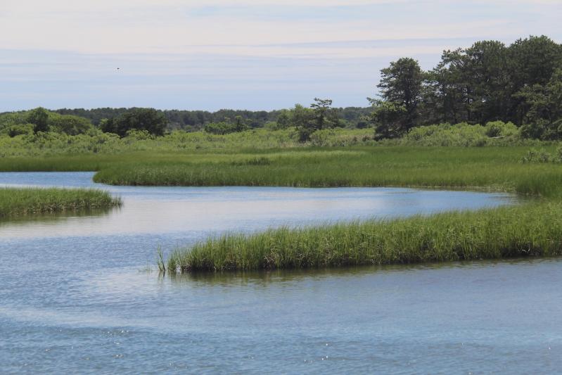
The East Hampton Town Board heard from the Peconic Baykeeper on Tuesday and looked favorably on a proposal to install three small “stations” in coastal areas within the town that are meant to document site changes such as sea level rise and changing coastlines.
Peter Topping, who also serves on the town’s water quality technical advisory committee, pitched Project RISE — Recording Inundation Surrounding the Estuary — as a science project intended to engage the community on the topic of climate and coastal change in the Peconic Estuary watershed. The Peconic Baykeeper plans to install around 15 Chronolog stations throughout the estuary. Chronolog is a software tool used to create crowdsourced time lapses to monitor the environment.
“I think we can all agree that water levels are rising, coastlines are changing,” Mr. Topping told the board, “regardless of what causes we want to debate. A big issue that we face, and I’m sure that the town faces, is trying to convey that to the public, especially when you have people that might be here for a month or two in the summer. They don’t really see what’s going on year round.”
Each station is to include a smartphone cradle and a sign to prompt users to capture an image and submit the photo via email to a dedicated public webpage, “so essentially you’re getting the same photo each time,” Mr. Topping said. Pictures would be arranged chronologically in a time lapse sequence on the webpage. Each webpage would include site and project background, and submitted images could be downloaded by anyone.
The purpose is to “engage the community with regard to the topic of climate change and coastal change going on in the Peconic Estuary,” Mr. Topping said, as well as to inform better coastal management policy for the watershed. “It’s not just sea level rise,” he said. “We’re also talking about shoreline erosion, or marshes retreating.”
A grant from the Peconic Estuary Partnership is supporting the plan for 15 stations in the watershed. Mr. Topping said he envisions the project on an estuary-wide scale and as a great opportunity for student research.
The plan is to begin installing stations this fall, with funding in place to support the project for five years. Mr. Topping proposed that the three stations within the town be installed at Landing Lane and Louse Point, at Accabonac Harbor, and at Lazy Point at Napeague Harbor.
Mr. Topping said that outreach to schools to incorporate the stations as an educational tool would start once they have been installed. Landing Lane, Councilwoman Kathee Burke-Gonzalez noted, is within walking distance of the Springs School.
Should funding allow, the project could be expanded to ocean beaches, Mr. Topping said, adding that he hoped that it would continue beyond the five years that present funding allows, “as long as they stay above water.”


