Technology may be helping travelers cut time from their commutes and shave minutes from their vacation trips, but some Sag Harbor Village residents say that same technology is ruining the quality of life in their otherwise quiet neighborhood.
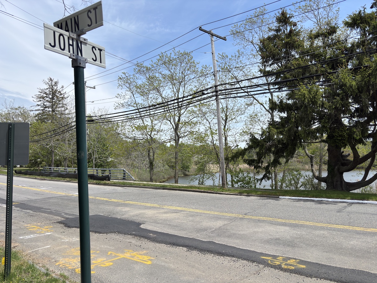
Residents of John Street, Columbia Street, and Jesse Halsey Lane off Brick Kiln Road came to the village board en masse last month to decry an influx of traffic on their quiet streets.
This month, the board responded.
Applications such as Waze and Google Maps are suggesting the neighborhood as a cut-through for traffic on Route 114, Main Street and Jermain Avenue. Residents of the streets say these application have changed their neighborhoods.
When the board met on Tuesday night, Ed Haye, the deputy mayor, said that while significant studies still await completion, relief may come sooner rather than later. In searching for low-cost resolutions, the village has approved a 90-day pilot program that will study the effects of new signs prohibiting left and right-hand turns from the streets, which should give “some immediate relief” to their residents, Mr. Haye said.
Doug Atkin, who lives on John Street, suggested that those signs be placed on some streets but not on others, allowing the differential to be studied, adding that some of the signs “may be subject to interpretation.” He suggested that the signs be reinforced with placards stating that the directives are police-enforced, and asked that police provide additional patrols in the area.
“Residents are suffering,” said Tom Gardella, the village mayor. L.K. McLean Associates, the Brookhaven engineering firm working with the village, has signed off on the pilot program, Mr. Haye said. He added that the board and the residents will work together to use technology to fight back by “helping to change the algorithm.”
Reporting errors, and putting new signs on the applications, will help change the suggested routes, he said, and could keep traffic in the area limited to local use.
Mr. Atkin suggested the village approve the pilot study for at least 90 days, as it can take time for the traffic applications to update. Ultimately, however, the board approved the plan for only 90 days.
But the quick fixes are only part of the plan, Mr. Haye said. The engineers have been working with the village on larger studies of the Route 114 corridor, which has been identified as part of the traffic problem that causes the backups and slowdowns that trigger the routes the traffic applications are now suggesting.
Likewise, McLean has been studying the Jermain Avenue and South Main Street intersection near the neighborhood in question.
It was also noted that eliminating crosswalks as far away as Bay Street could ease some traffic problems on the other side of town.
While Mr. Haye said the state, which owns Route 114, would be unlikely to provide funds for the studies, it is “likely to give permission” to changes suggested by the board. In the meantime, the board is exploring grant options for signage and possibly making some village-owned roads one-way.
McLean will share the results of its ongoing studies at a public workshop on June 25. Board members have asked that anyone planning to attend the workshop submit comments in writing afterward.
Speaking for his neighbors, Mr. Akin told board members that “we really appreciate . . . the amount of care and time you’ve devoted to this issue. Local government can work.”